




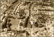


1955 - Orpington
As shown in the Orpington
Times. Not the best quality.
1966 - Orpington
If you want the full size version
of this please contact us.
1970 - Orpington
Orpington Hight St in 1970
with the newly completed
Station Road car park.



1920c - Orpington
A very good early aerial
photo.



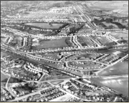
1955 - ‘New’ Chelsfield
Most of what can be seen here
was new in 1955! ‘New
Chelsfield’ was one of
Orpington Council’s boldest
expansions for affordable
housing most of it was council
owned.
Aerial Images and Maps
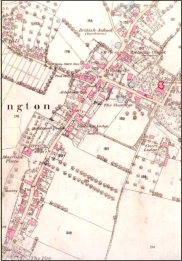
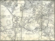
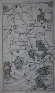
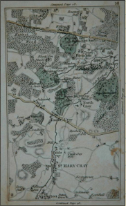
We are lucky that some good examples of aerial photography have been captured of early Orpington. The maps we have collected have also helped us determined the dates of certain items within the website. If you have the time you can use the maps below and
 track the changes that resulted in the Manor Village become a modern Suburban Town.
 have also helped us determined the dates of certain items within the website. If you have the time you can use the maps below and
 track the changes that resulted in the Manor Village become a modern Suburban Town.
Aerial Images
We are always on the look out for aerial images - if you have any that we can add to the site please contact us!

Maps!
We are always on the look out for more maps images - if you have any that we can add to the site please contact us!

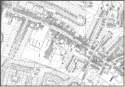
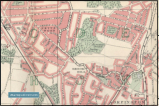
1941 - Orpington Area Multi Map
1800 - Central Orpington
O/S
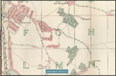
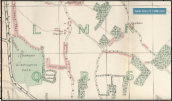
1840c- Cray Valley
1840c- Chelsfield
1860 - Central Orpington
1868 - Central Orpington
1933 - Central Orpington
1940c - Central Orpington
1961 - Central Orpington
1956 - Central Orpington
2002 - Orpington High
Street
2008 - Orpington High
Street
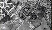
1945 - Tubbenden Lane
North
This is a great image of what
was once the area occupied by
Tubbenden House and Cook’s
Chicken Farm.


